Drucker County is one of the four main maps in the campaign of State of Decay 2, alongside Cascade Hills, Meagher Valley, and Providence Ridge. The county is situated in the Wichita Mountains of southwestern Oklahoma.
History and Current Conditions[]
What would be known as Drucker County formed millions of years ago being a plateau, with various wildlife species such as Bison, like the surroundings.
Over time, natives settled in the area. They were very small secluded tribes and often kept to themselves. Major expansion of the area didn't happen until the western expansion era and brought many people to the region, the most notable being Alfred Drucker, the "founder" of the county.
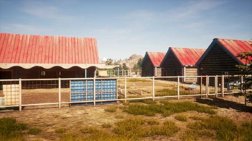
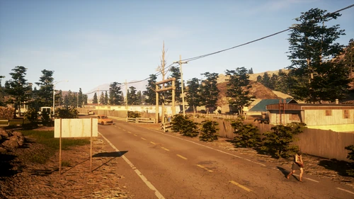
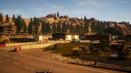
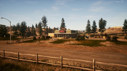
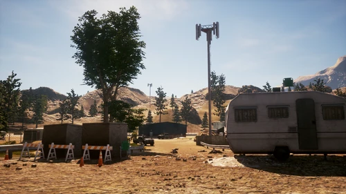
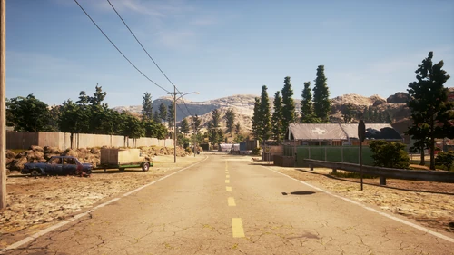
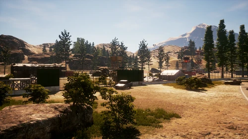
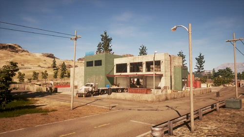
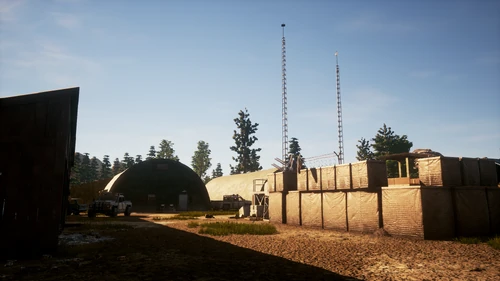
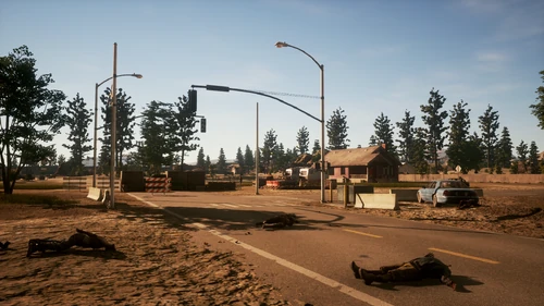
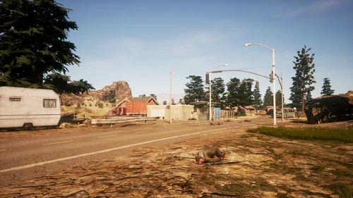
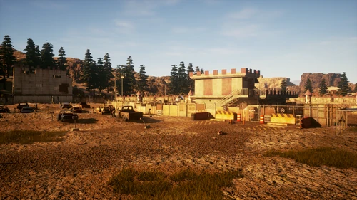
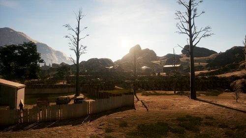
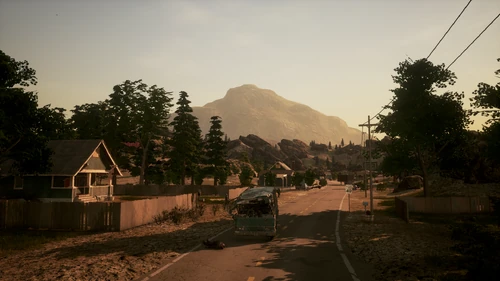
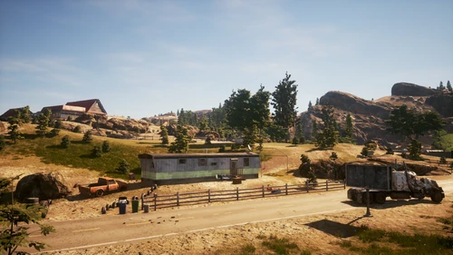
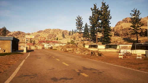
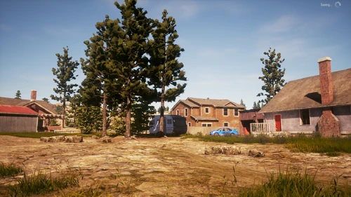
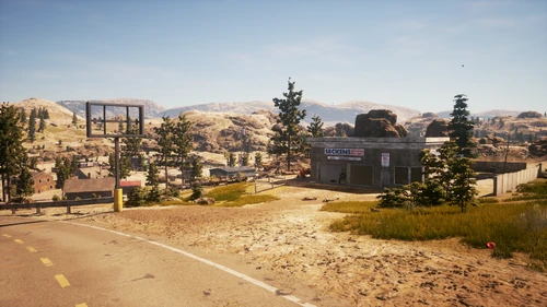
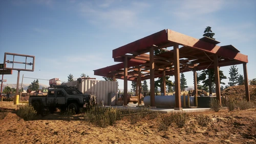
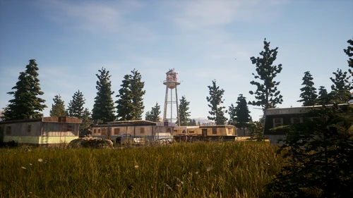
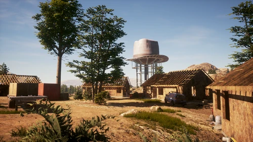
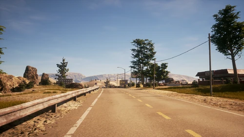
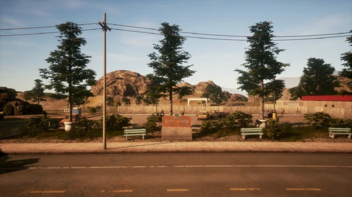
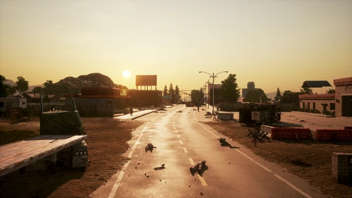
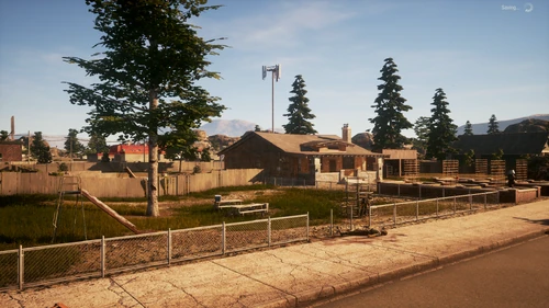
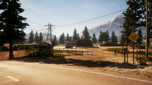
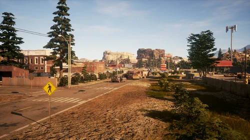
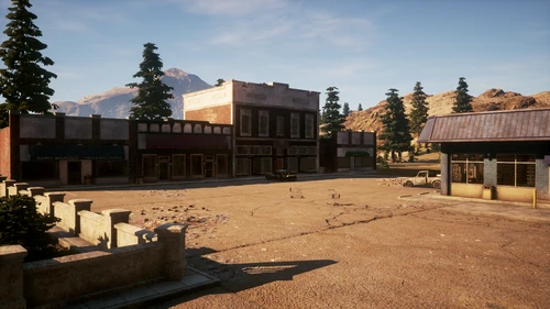
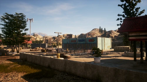
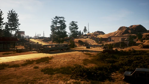
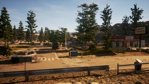
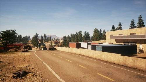
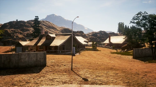
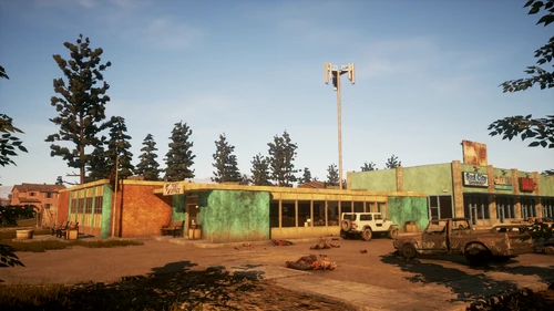
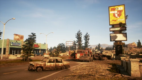
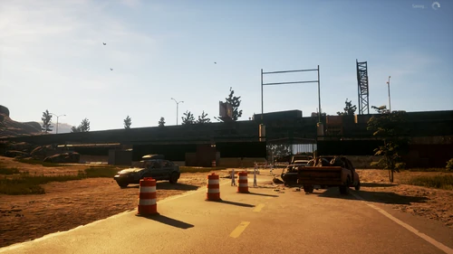
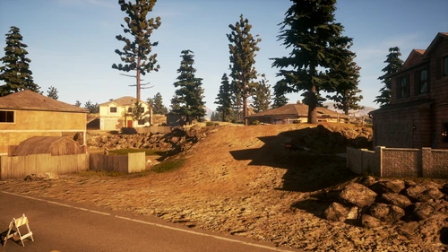
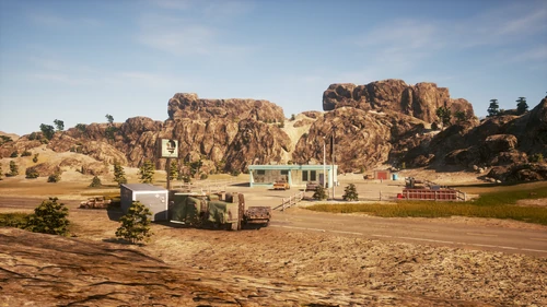
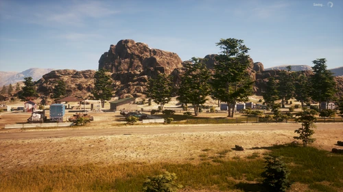
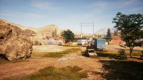
Drucker County is largely abandoned and in ruins, with wrecked cars and trucks blocking the roads. The county seems to have had a greater military presence than the other locations, due to the presence of military blockades, evacuation centers, and surviving members of the Army scattered across the plateau.
Home Sites[]
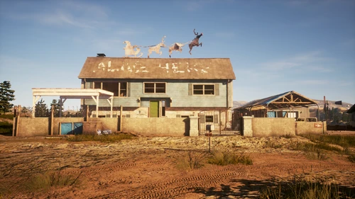
- Vogel House
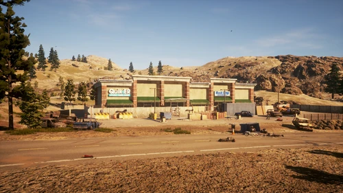
- Barricaded Strip Mall
- Knights Family Drive-In
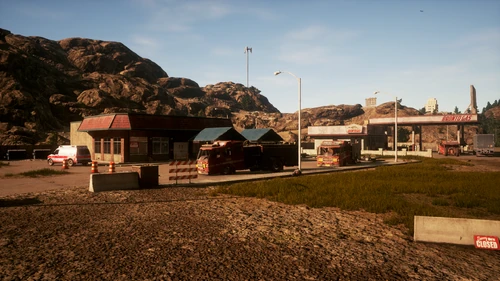
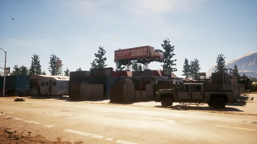
- Wheelhouse Truck Stop
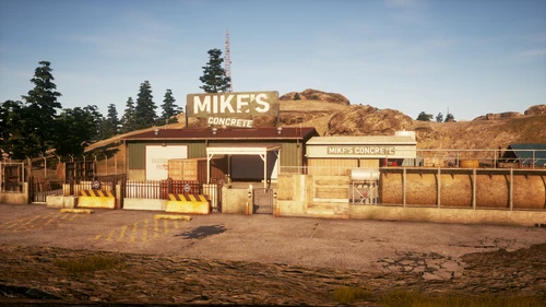
- Mike's Concrete
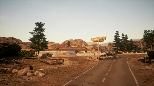
- Wally's Bar and Grill
- Cabin Park Motel
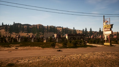
Locations[]
- Santa Maya
- South Santa Maya
- Sasser Point
- Meturato
- Tapper's Stall
- Mathilda
- Kettle Rock Bend
- St. Marcus Plaza
- Rooster Ridge
- Tamfield
- Glendale
- Twin Tables National Park
- Hoda Valley
- Gawain
- Lake Brimley Park
- Knight's Pass
Drucker County contains 13 Plague Hearts and 21 Survey Points.
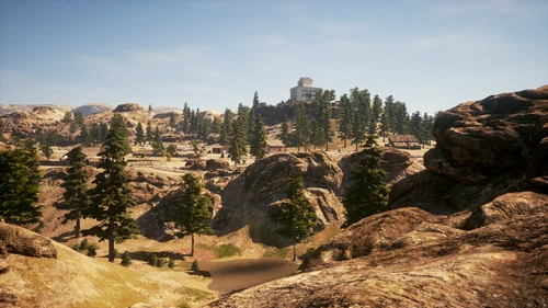
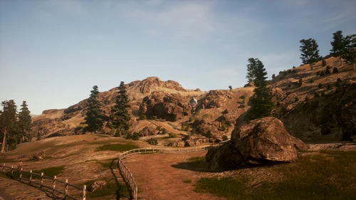
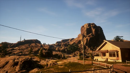
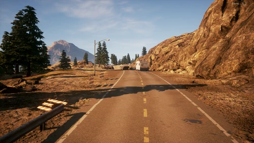
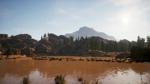
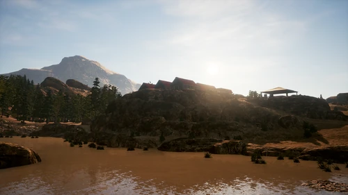
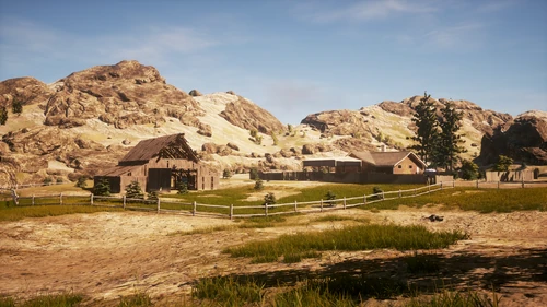
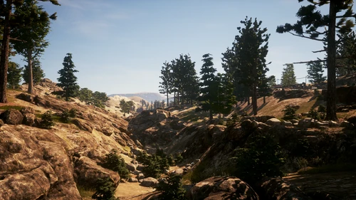
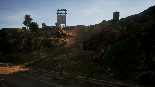
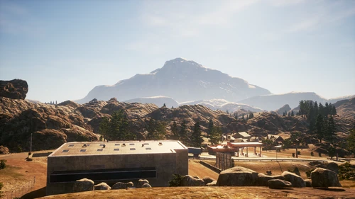
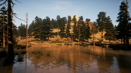
Large cliff sides and deep ravines are scattered across most of Drucker County. This often makes traveling around the map difficult, and also forces the player to rely heavily on vehicles. Caution is advised when driving offroad or taking shortcuts, as vehicles have been known to get stuck on rocks.
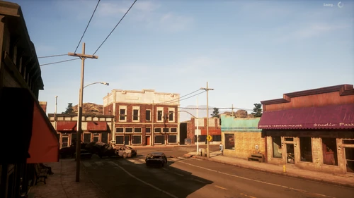
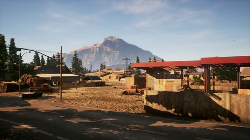
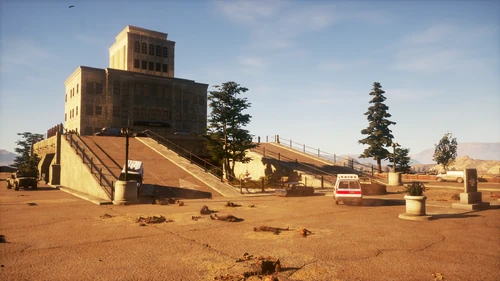
In the center of the map on the outskirts of Santa Maya is Sasser Medical Center, which is one of the largest structures of the four main regions and Trumbull Valley. To the south is an airfield surrounded by military posts, which makes it a prime location for looting.
Trivia[]
- Drucker County bears a strong resemblance to the Wichita Mountains of Southwestern Oklahoma and western Oklahoma in general.
- Drucker County also shares a lot of similarities with South Dakota, Colorado, and New Mexico.
- Drucker County may be based off Comanche County, Oklahoma. The local geography, wildlife, nearby national park, Native American history, and large military presence, among other things, suggest this.
- The large mountain looming over the county is likely Mt. Scott.
- Judging by all the military roadblocks on the map and their placement, the military (ineffectively) tried to prevent people from accessing the interstate and leaving the county.
- In 2020 there was a rework of this map so the only way to know what this map was like before its update is to install an old version of the game on your PC or install a base disk on your Xbox.
- One of the military posts that are behind the "Wheelhouse Truck Stop" base, was completely taken by zombies, we can see that the army kept the civilians until the last moment.
- This map is notoriously difficult to navigate due to the map's rocky terrain and a large ravine splitting the map in half.